Photogrammetry: Revolutionising Asset Management for Dams
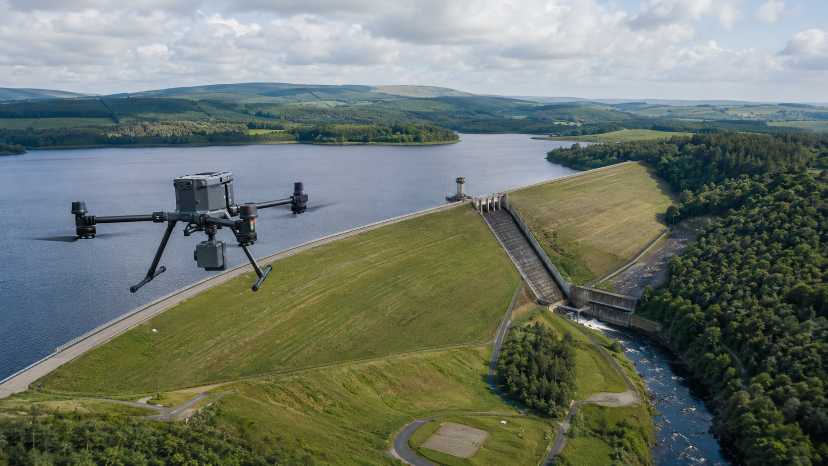
Photogrammetry is a highly advanced technique that captures precise measurements and creates detailed 3D models from photographs. By taking multiple overlapping images of an object, structure, or landscape from different angles, specialised software analyses these photographs, identifying common points and triangulating their positions in space. This process allows for the reconstruction of the subject’s geometry in three dimensions. The resulting 3D models can then be used for a range of applications, including measuring area and distance, as well as tracking changes over time through comparisons of models captured at different intervals.
Applications of Photogrammetry in the Asset Management of Dams
Structural Monitoring and Inspection
Detailed Surface Mapping: Photogrammetry enables the creation of highly detailed 3D models of a dam’s surface, revealing cracks, deformations, or other structural issues that may not be immediately visible.
Time-Lapse Analysis: By conducting regular photogrammetric surveys, asset managers can monitor the dam’s condition over time. This allows for the early detection of potential problems, such as subsidence, erosion, or weakening of the structure.
Flood Risk Management
Terrain Modelling: Photogrammetry allows for the modelling of surrounding terrain, making it easier to assess water flow patterns in the event of dam overflow or failure. This is critical for developing robust flood risk management strategies.
Downstream Impact Analysis: By simulating potential dam failures or controlled water releases, photogrammetry aids in emergency planning and response, providing insights into the downstream impact.
Maintenance and Repair Planning
Damage Assessment: After extreme events such as earthquakes or floods, photogrammetry can swiftly generate detailed models of the dam, facilitating rapid damage assessment and informing repair plans.
Asset Documentation: Regular photogrammetric surveys create a comprehensive historical record of the dam’s condition, providing invaluable data for long-term maintenance planning and ensuring the asset’s structural integrity.
Photogrammetry offers an efficient, cost-effective, and powerful tool for managing large-scale assets like dams. By generating high-resolution 3D models from simple photographs, it provides asset managers with accurate, up-to-date information essential for maintaining structural integrity, managing risks, and planning maintenance activities.
Revolutionising Seepage Detection with Non-Intrusive Technology
Micro Seismic Resonance (MSR)
Unveiling the Earth's Hidden Tides: Targeting Fractures for Optimal Well-Siting
Gamma
Harnessing Gamma Technology: A Powerful Tool for Locating Subsurface Water
Photogammetry
Photogammetry: Revolutionising Asset Management for Dams
Underwater Drone Surveys
Underwater Drone Surveys: A Safer, Smarter Way to Inspect
Aerial Inspections
Watertech
Worldwide provides specialist drone surveying and aerial inspection services
for reservoirs, dams, embankments, water infrastructure, earthworks and other
complex assets.
FIND OUT MORE
Whether you’re curious about how we work or about our technologies, we’re here to answer any questions.