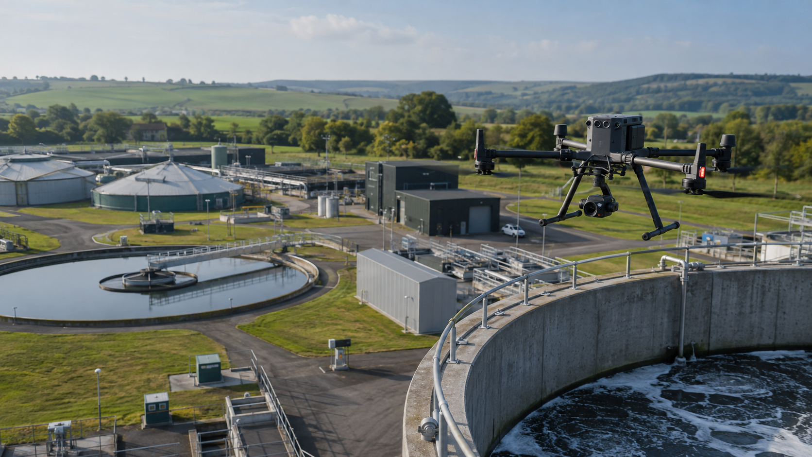
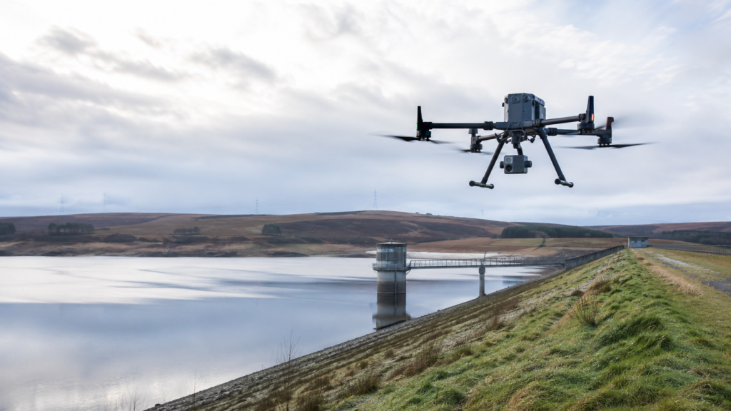
Watertech Worldwide provides specialist drone surveying and aerial inspection services for reservoirs, dams, embankments, water infrastructure, earthworks and other complex assets.
Using an enterprise-grade platform equipped with LiDAR, radiometric thermal imaging and high-resolution visual inspection capabilities, we can collect detailed information safely and efficiently across large, inaccessible or potentially hazardous areas.
Our drone services can be delivered as standalone investigations or integrated with Watertech’s specialist Willowstick seepage mapping, Micro-Seismic Resonance surveying and wider geophysical capabilities. This allows surface observations, terrain information and thermal responses to be considered alongside evidence relating to subsurface seepage pathways, geological conditions and asset integrity.
Depending on the project requirements, deliverables can include georeferenced LiDAR point clouds, digital terrain and surface models, contours, cross-sections, thermal imagery, high-resolution inspection photographs, annotated defect schedules, volumetric calculations and interactive 3D models.
Reservoir and Dam Aerial Inspections
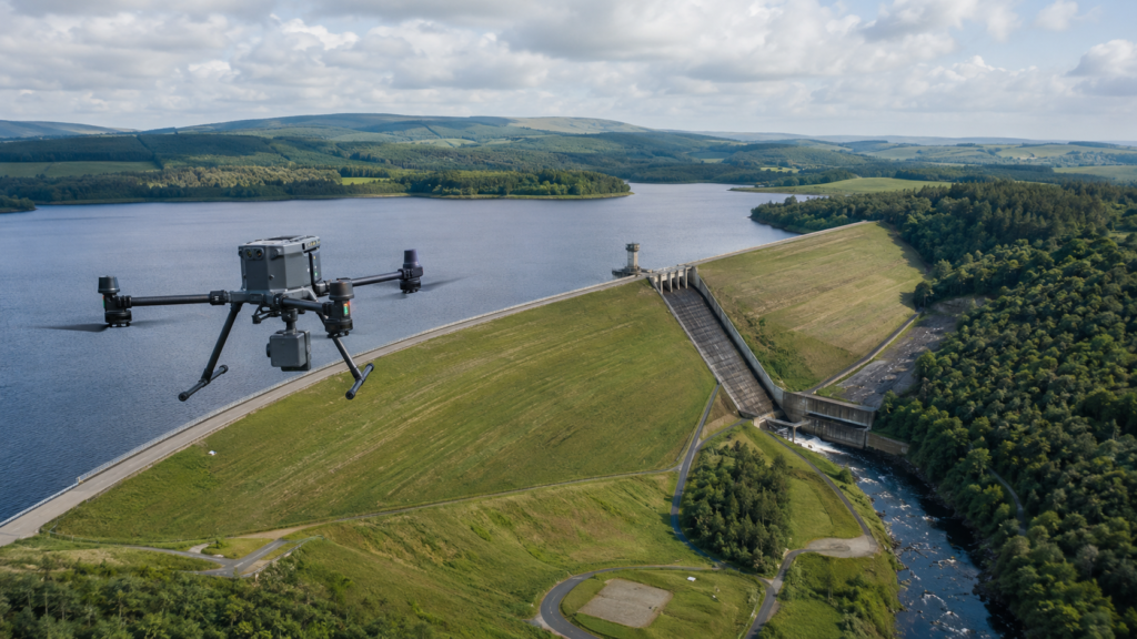
Watertech provides detailed visual, thermal and LiDAR-supported inspections of reservoirs, dams and associated infrastructure.
Drone-based inspection allows extensive or difficult-to-access areas to be examined without routinely placing personnel on steep slopes, near exposed edges or within otherwise hazardous locations. The aircraft can capture high-resolution visual imagery of embankments, spillways, draw-off structures, wave walls, channels, abutments and other associated features.
Where appropriate, visual inspection can be supported by LiDAR terrain data and radiometric thermal imagery. This provides a more comprehensive record of the asset and helps direct closer inspection or further investigation towards areas of interest.
Watertech can also establish repeatable flight routes, enabling broadly consistent datasets to be collected during future inspections and supporting comparison over time.
- Surface erosion and scour
- Cracking or localised deformation
- Slips, depressions and irregularities
- Animal burrows and vegetation disturbance
- Deterioration of concrete surfaces
- Obstructions within channels and spillways
- Areas of persistent moisture or unusual thermal response
- Changes since previous inspections
Important limitation: Drone inspection does not replace the statutory role or professional judgement of the appointed reservoir engineer. It provides an additional, detailed and auditable source of information to support inspection, surveillance and asset-management decisions.