Revolutionising Seepage Detection with Non-Intrusive Technology
Accurately pinpointing seepage pathways has been a persistent challenge for geophysicists and engineers alike. Despite the deployment of various leak detection methods across the industry, many prove to be imprecise, expensive, time-consuming, and often exaggerate the severity of the problem. If leakage can be tracked accurately, remediation can be targeted early—before issues spiral out of control—significantly reducing both costs and risks.
Seepage of groundwater or contaminants through critical structures such as dams, mine tailings, oil and gas chambers, or bedrock, poses serious threats to industry and the environment. Geotechnical techniques are crucial in tracking groundwater seepage, enabling more focused and cost-effective remediation efforts.
Internal erosion caused by seepage can severely undermine a structure’s stability, drastically increasing the likelihood of failure. Alarmingly, 78% of dam failures in the UK are a direct result of internal erosion (DEFRA 2002). Beyond structural integrity, the seepage of contaminants into the environment can lead to devastating ecological consequences, making early and accurate detection paramount.
At WaterTech Worldwide, we are at the forefront of innovative, non-intrusive leak detection technology. Our advanced geophysical survey technique offers a precise, efficient, and cost-effective solution for identifying and monitoring leaks.
Our method involves energising the target groundwater with an alternating electrical current (AC) of a unique signature frequency between paired electrodes. As this current moves through the seepage pathways in the study area, it generates a corresponding magnetic field. This field is then detected by highly sensitive coils in our specialist survey equipment.
The surveying system comprises a GPS-mounted surface instrument designed to measure the magnetic field generated by the induced electrical current. Electrodes are strategically placed in an opposing configuration around the survey area, and readings are taken along a carefully mapped grid (typically 10x10m) to ensure comprehensive coverage of the site. These measurements are then recorded and processed using advanced GIS software, allowing us to delineate the subsurface flow paths with exceptional accuracy.
The magnetic field data collected is modelled using cutting-edge software to produce a detailed 3D representation of the area in question. This enables precise identification of both the location and orientation of seepage paths, allowing for targeted and effective remediation—at a fraction of the usual cost.
Our Technologies
Willowstick
Revolutionising Seepage Detection with Non-Intrusive Technology
Micro Seismic Resonance (MSR)
Unveiling the Earth's Hidden Tides: Targeting Fractures for Optimal Well-Siting
Gamma
Harnessing Gamma Technology: A Powerful Tool for Locating Subsurface Water
Photogammetry
Photogammetry: Revolutionising Asset Management for Dams
Underwater Drone Surveys
Underwater Drone Surveys: A Safer, Smarter Way to Inspect
Aerial Inspections
Watertech
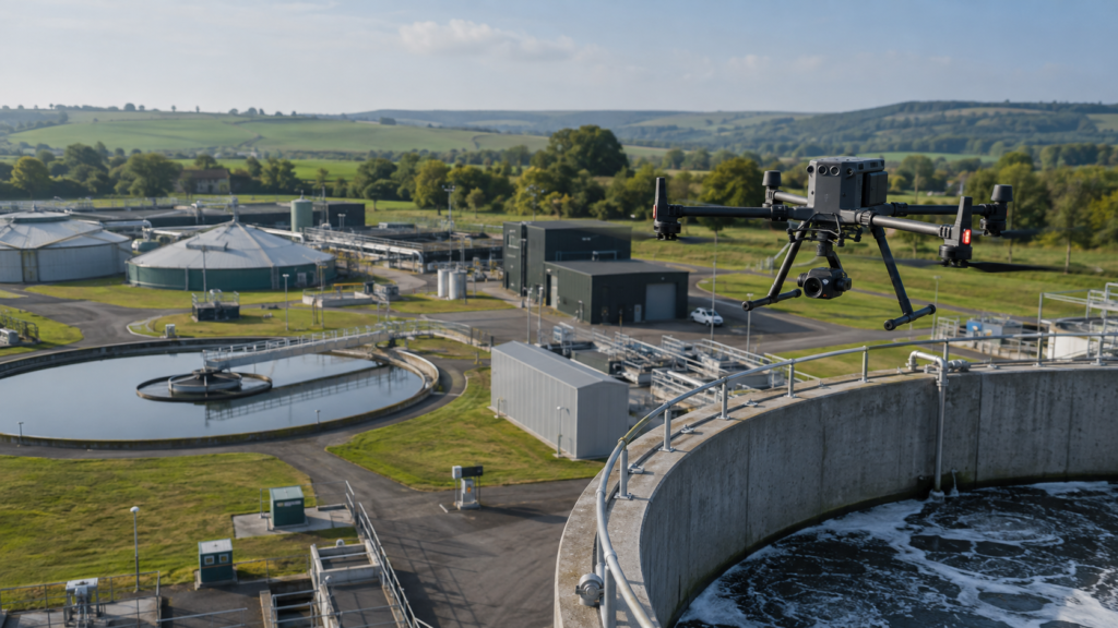
Worldwide provides specialist drone surveying and aerial inspection services
for reservoirs, dams, embankments, water infrastructure, earthworks and other
complex assets.
FIND OUT MORE
Whether you’re curious about how we work or about our technologies, we’re here to answer any questions.